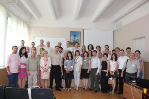
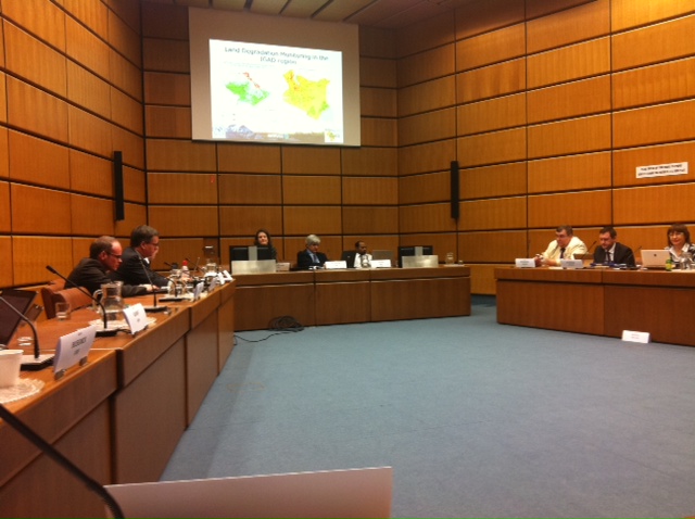
On 22-23 of October in Kiev, Ukraine a Joint Workshop “Information Needs in Crop Monitoring” funded by European Commission’s Joint Research Centre and co-funded by the UN-SPIDER office of UNOOSA was held. Representatives from institutional users in Ukraine and neighboring countries, governmental representatives from the EU and technology experts from neighboring countries, international programmes and European institutions participated.
At the meeting of governmental representatives with Ukrainian and international experts in agricultural monitoring domain it was discussed how actual requirements for information on agricultural statistics, crop monitoring and crop production can be threated with modern satellite based technologies.
Feasibility of specific future actions under national, bi-lateral or joint collaboration, as well as identification of common research and development needs and possible funding mechanisms were discussed.
As a result of the symposium it was decided to launch a pilot project for satellite Agromonitoring of Ukraine within the Sentinel4Agri project «Sentinel-2 for Agriculture» of Horizon-2020 program participated by representatives of UN-SPIDER RSO in Ukraine.
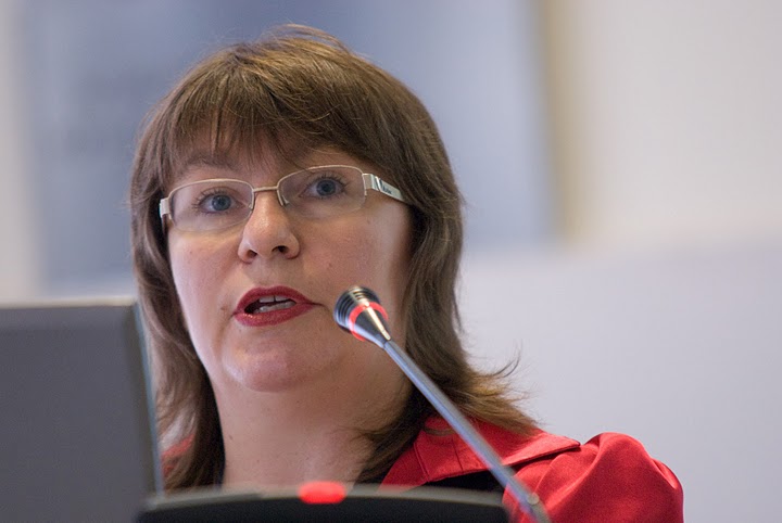
On Marth, 4th, 2013 expert of the UN-SPIDER Regional Support Office in Ukraine took part in the regional workshop “Wild fires in Eastern Europe: science, politics and management” and official opening of the Regional Eastern Europe Fire Monitoring Center (REEFMS) in the National University of Life and Environmental Sciences of Ukraine. Prof. N. Kussul and Dr. S. Skakun delivered presentation on the “UN-SPIDER Regional Support Office in Ukraine: Fire Monitoring using Satellite Data”.
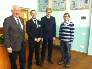
During the round table regional collaboration on the wild fire management in Eastern Europe (including between UN-SPIDER RSO in Ukraine and REEFMC) was discussed, and a working plan was worked out that will be further presented during the European Economic Commission Forum in Geneva in November 2013.
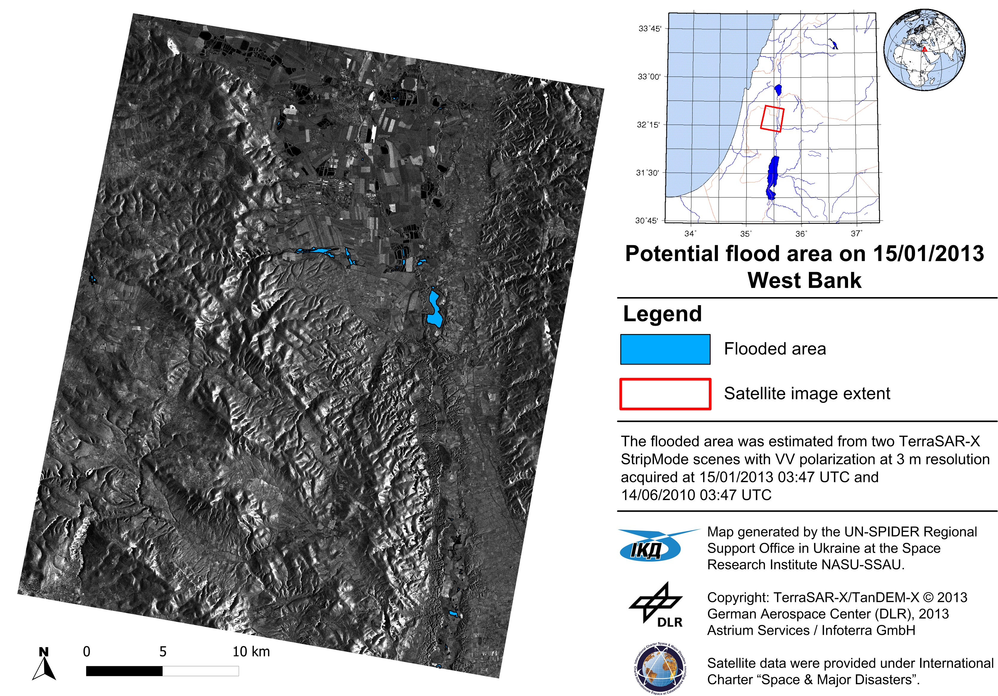
Experts from UN-SPIDER RSO in Ukraine developed new methodologies to flood hazard mapping from satellite data. The first approach envisages statistical processing of time-series of Landsat-5 and Landsat-7 images to derive a probability of inundation map over the region of interest.
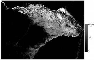
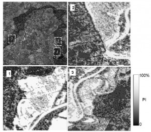
The second approach is targeted for event-specific flood hazard mapping. It utilizes neural networks to produce a posteriori probability of the area being inundated.
The use of satellite imagery to multi-event and event-specific flood hazard mapping (pdf.)
22 – 25 November 2011
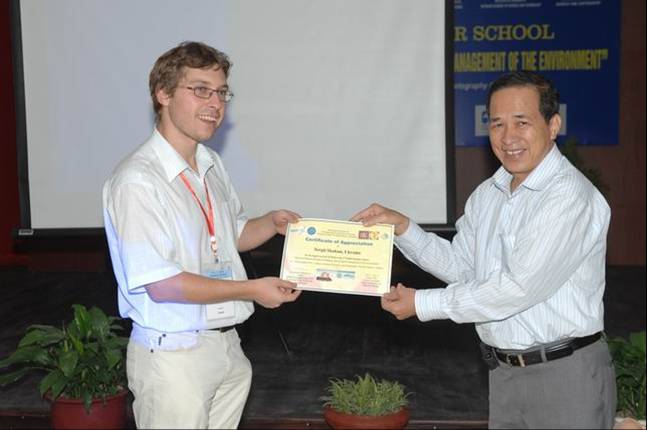
Representative of the UN-SPIDER RSO in Ukraine, Dr. Sergii Skakun, took part in the United Nations International Conference on Space-based Technologies for Disaster Risk Management “Best Practices for Risk Reduction and Rapid Response Mapping” that organised by the United Nations Office for Outer Space Affairs (UNOOSA) and held in Beijing, Chian from 22 to 25 November 2011.
Dr. Sergii Skakun delivered a presentation on “The use of satellite data and geospatial intelligence for flood risk assessment at UN-SPIDER RSO in Ukraine” (pdf.)
Information on the Conference can be found at
http://www.un-spider.org/conference-beijing-2011


