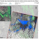
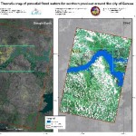
In September 2012 Northern part of Cameroon was hit by sever floods. International Charter “Space and Major Disasters” was activated to acquire satellite images over affected regions. UN-SPIDER Regional Support Office in Ukraine, State Space Agency of Ukraine (SSAU) and Center of the Special Information Receiving and Processing and the Navigating Field Control (CSIRP and NFC) coordinated their efforts in order operationally acquire images from the Ukrainian remote sensing satellite Sich-2 and deliver maps of flood waters.
The following images were acquired:
- 10 September 2012 over city of Maga
- 15 September 2012 over city of Garoua
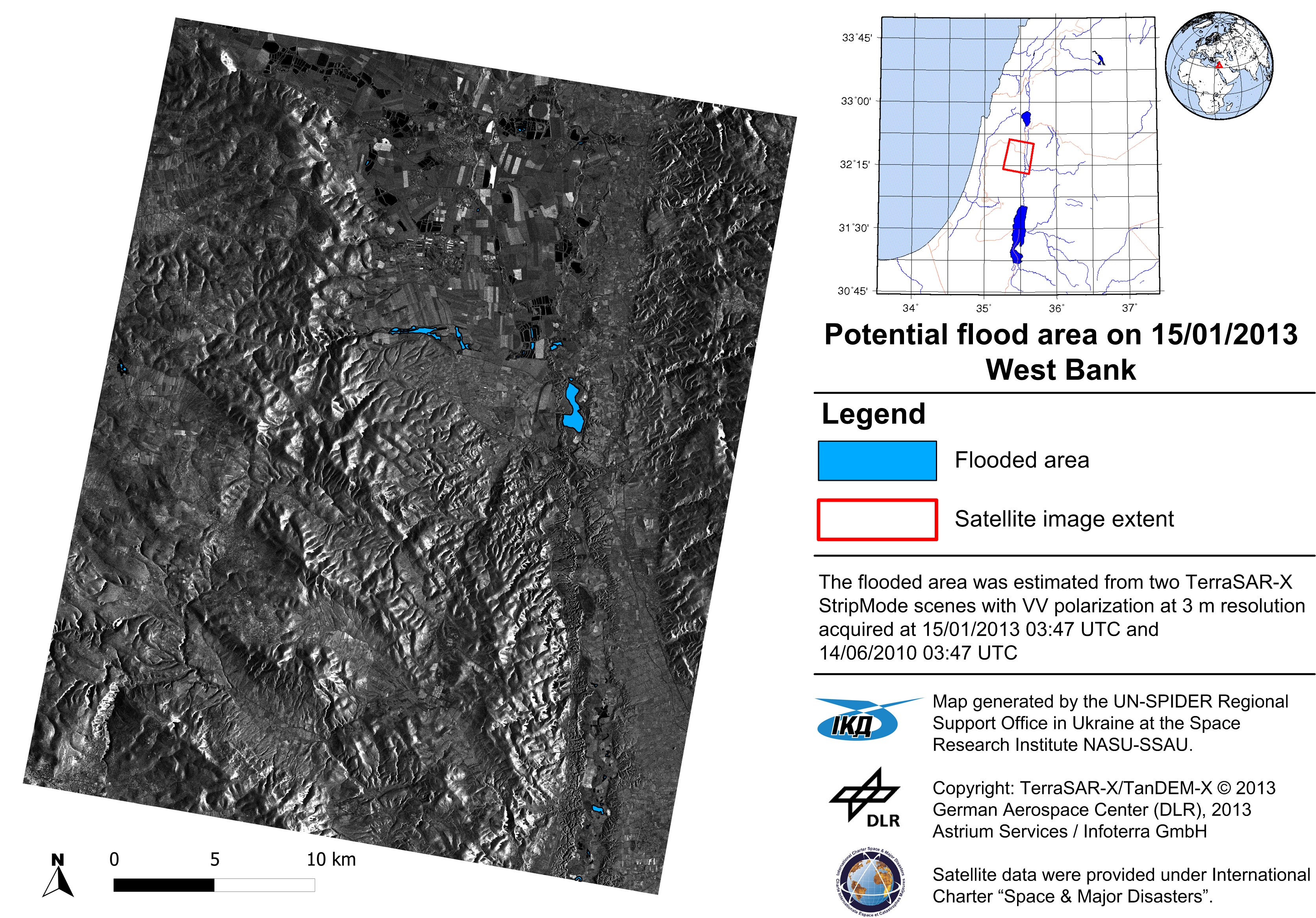
Figure 1. Maps of flood waters generated from Sich-2 satellite: Maga (on left, date of image acquisition 10.09.2012) and Garoua (right, 15.09.2012)
The link to the Charter web site for this activation is available here http://www.disasterscharter.org
