Topics covered:
- UN-SPIDER Activities in Disaster Management – SpaceAid
- Flood Mapping from Satellite SAR Data: Basic Theory and Existing Approaches
- Flood Mapping with Advanced Techniques – A Neural Network Approach
- Integration of Satellites (SAR and Optical) and Modeling Data for Flood Monitoring and Forecasting
- Real-World Examples of Flood Monitoring: Practical Issues
Practical work:
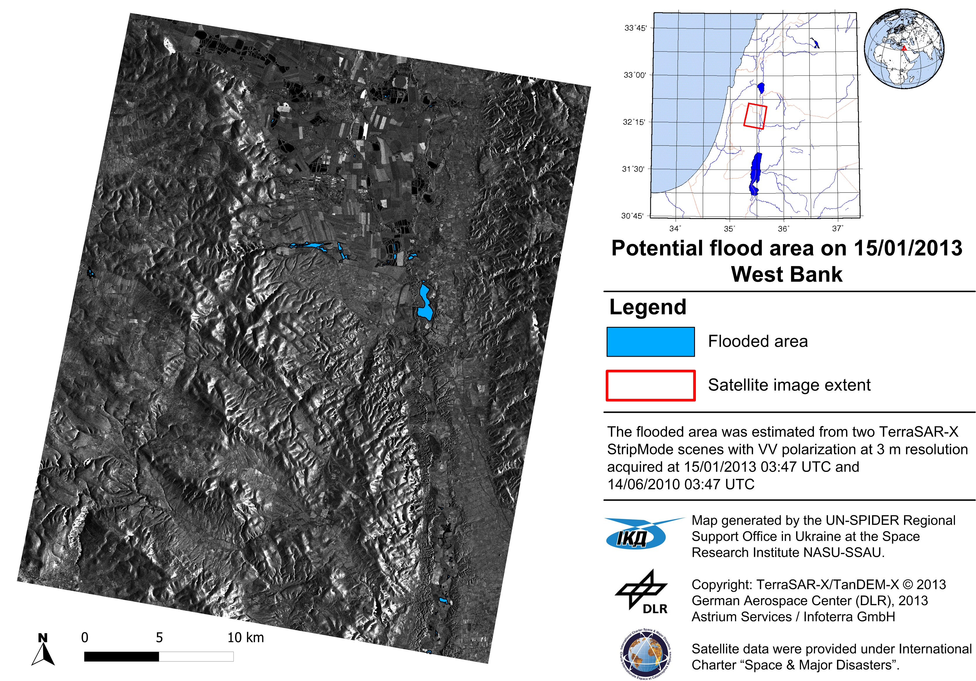
The practical session was in the form of training and demonstration. The training included the application of simple algorithms of SAR image processing and delivery of flood extent map in different formats (paper maps, KML, shape files). The demonstration focused on advanced techniques, in particular intelligent computations of SAR image processing and data processing workflow management to deliver geospatial services, and flood risk analysis using GIS technology. The data sets used are Envisat/ASAR and Radarsat-1/2 for different flood events (Australia 2009; Namibia 2009; Vietnam 2008). ESA’s NEST software was used for SAR data processing, and ArcGIS (or QGIS) will be used for geospatial operations.
Lectures in pdf: